
10.3.2015 – United States Coast Guard HC-130 search and rescue crew from Air Station Clearwater, Florida, spotted the life ring 120 nautical miles northeast of Crooked Island, Bahamas. A Coast Guard MH-60 helicopter crew recovered the life ring and confirmed it belonged to the missing ship El Faro.
“While this reflects that the ship was caught in rough seas and extreme weather, it is in no way indicative of the ship’s fate,” Tim Nolan, president of TOTE Maritime Puerto Rico. said. “In fact, it helps confirm the El Faro’s possible location and helps the USCG confirm the search areas.
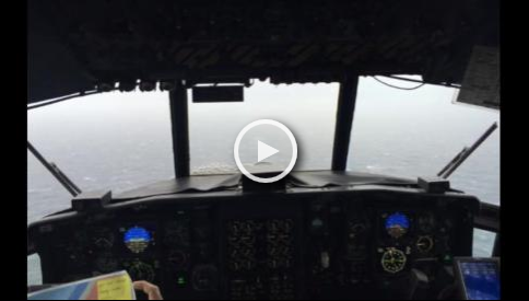
Petty Officer 2nd Class Jon-Paul Rios searching for the missing El Faro container ship, near the eye of hurricane Joaquin, recounts the weather conditions Oct. 3, 2015. The Coast Guard has been searching since Oct. 1, after losing communications with the EL FARO.
The El Faro, built in 1975, recently underwent a complete updating. Mike Hanson, a spokesman for the owner of the ship, Tote Maritime Puerto Rico, told Reuters all contact with the vessel had been lost since Thursday morning October 1, which he said was “very unusual,” especially as the ship was equipped with a marine transponder, a satellite phone and GPS locators on the containers.
Vessel Particulars
IMO: 7395351 – MMSI: 368208000 – Call Sign: WFJK – Name: EL FARO – Length × Breadth: 794’/242m × 95’/29m – Current Draught 32.48’/9.9m – MMSI: 368208000 – Type: Ro-Ro Cargo – AIS Type: Cargo – Hazard D (Recognizable) – Gross Tonnage: 31515 – Deadweight: 14971 t – Summer DWT: 14971 t – Build: 1975 – Flag: U.S.A. – Home port: SAN JUAN
Last Position Received
Info Received: 2015-10-01 04:01
Area: Atlantic North
Latitude / Longitude: 26.21038° / -76.3353°
Status: Underway
Speed/Course: 18.7kn / 153°
MarineTraffic Data
| Timestamp (UTC) | AIS Source | Speed (kn) | Latitude (°) | Longitude (°) | Course (°) | Show on Map |
|---|---|---|---|---|---|---|
| T-AIS | 18.7 | 26.21038 | -76.3353 | 153 | ||
| T-AIS | 19.0 | 24.31143 | -74.96695 | 151 | ||
| T-AIS | 19.9 | 24.74812 | -75.23759 | 149 | ||
| T-AIS | 19.9 | 24.78227 | -75.2595 | 149 | ||
| T-AIS | 20.1 | 25.50152 | -75.71398 | 150 |